
Automated 3D production from geodata
Turn LiDAR, aerial imagery and building data into terrain, textured buildings and vegetation — automatically.
Sensecell Atlas is a production pipeline for creating streamable OGC 3D Tiles from your existing geodata. Use it as an on-demand processing service or integrate the pipeline into your own environment.
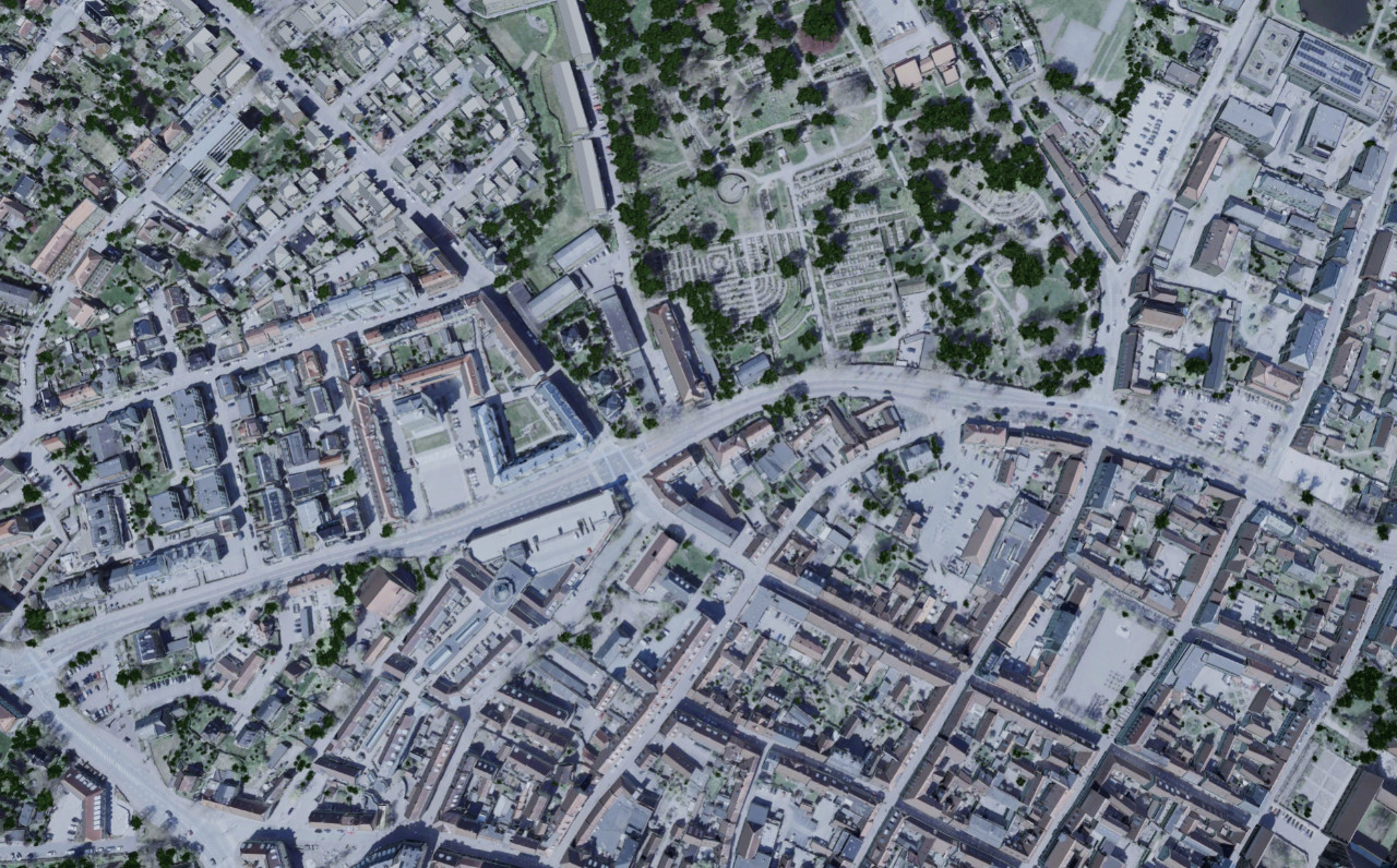
From source data to finished 3D
The pipeline automates reconstruction, texturing, optimisation and packaging. When new source data becomes available, the same process can be run again without rebuilding the model manually.
How it works
Input, processing, output
You supply LiDAR and aerial imagery. The pipeline reconstructs terrain, textures buildings, generates vegetation and packages everything as streamable OGC 3D Tiles.
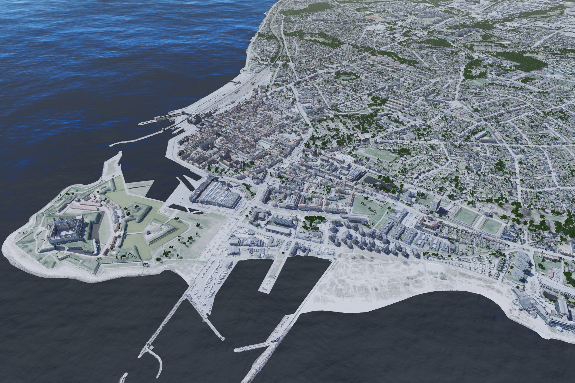
When source data is updated — new LiDAR flights, fresh aerial imagery — the pipeline runs the same process again. No manual rebuilding.
One area today. An entire country tomorrow. Same pipeline.
Services
Two ways to use Sensecell Atlas
On-demand processing
Send us LiDAR, imagery and supporting geodata. We process the area and deliver terrain, buildings and vegetation as streamable OGC 3D Tiles.
- You supply source data, we deliver finished 3D Tiles
- Terrain, textured buildings and vegetation included
- Re-processing available when source data is updated
On-premise pipeline
We deploy and configure the production pipeline in your environment so your organisation can produce and update its own 3D datasets.
- Runs in your infrastructure, on your data
- You control production and own your outputs
- Implementation, documentation, training and support included
Get started
Need to produce 3D from your own geodata?
Tell us about your data, area and intended use.